
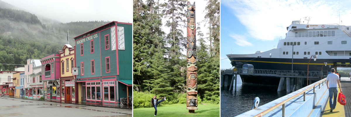
5th Avenue in Skagway, Totems in Sitka and the Columbia docked in Ketchikan.
Getting there: We arrived in Skagway via the Alaska Marine Highway vessel Malaspina, a 5.5 hour ride from Juneau. A couple of small, local airlines operate flights to Skagway and it is also connected by road to Whitehorse in Canada’s Yukon Territory. The vast majority of visitors arrive by giant cruise ship, and that is a shame.

The historically restored Mascot bar in Skagway, complete with mannequin drinkers.
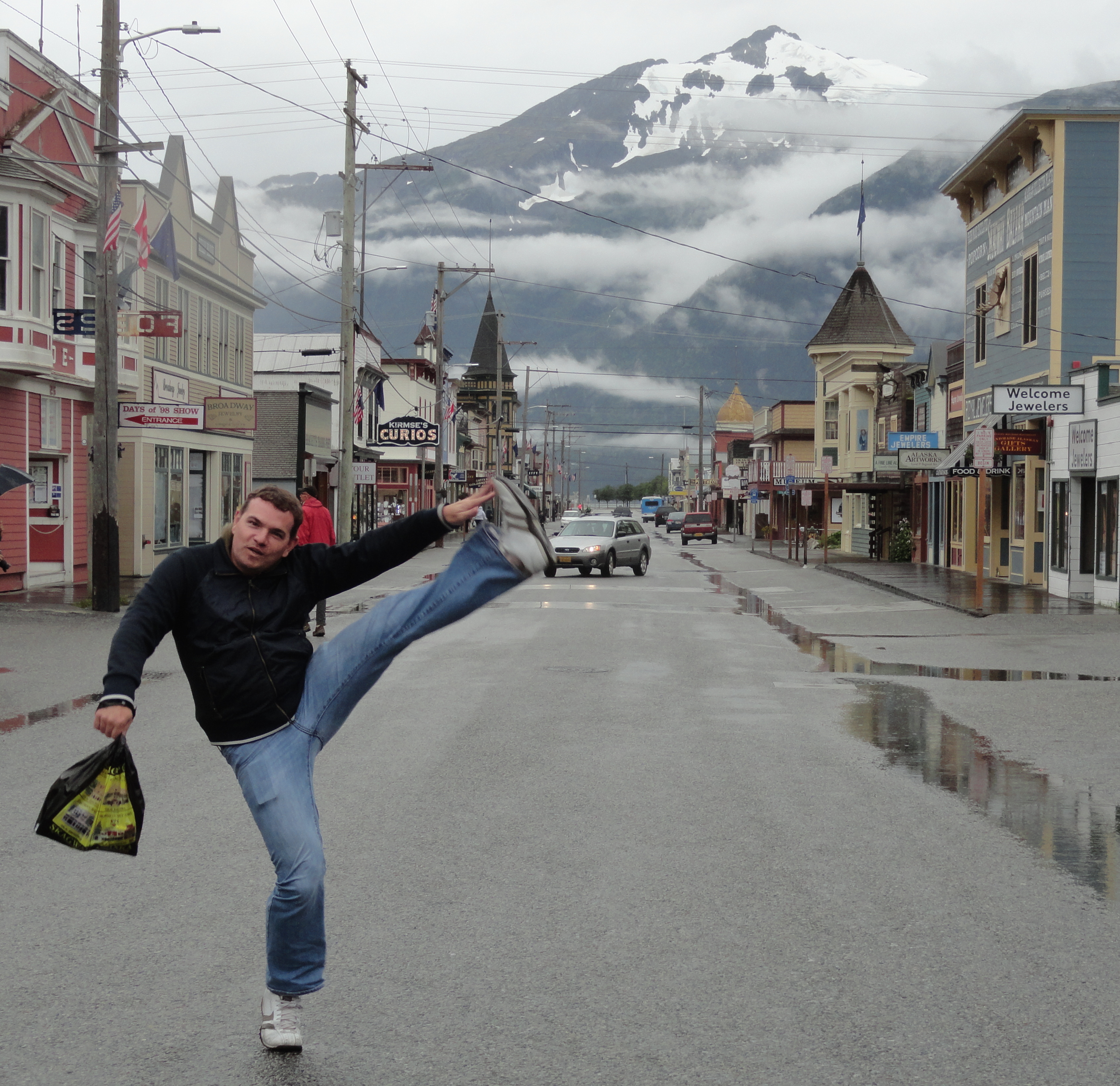
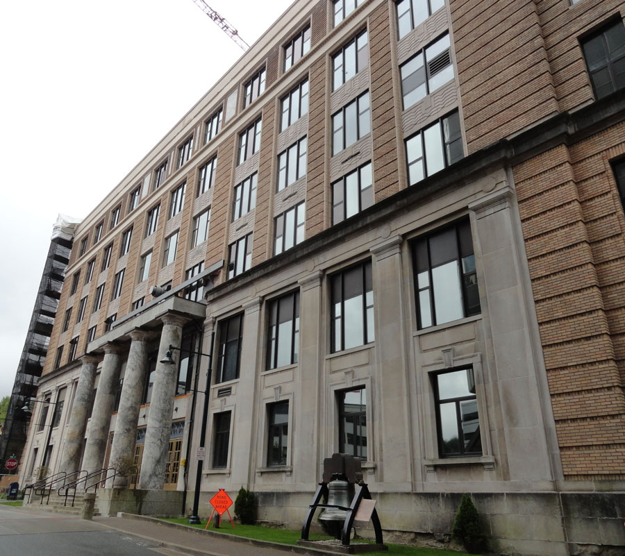
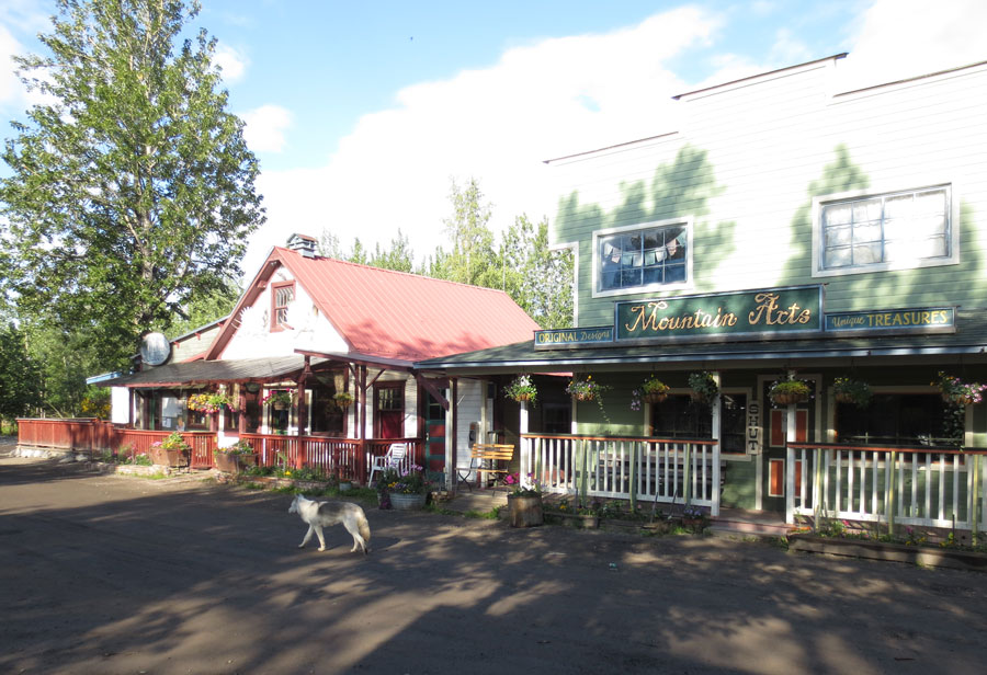
Skagway is located in a narrow valley in the most northern fjord of the Alaskan portion of the Inside Passage. It is known as the “Gateway to the Klondike” for the prominent role the location played in the 1898 gold rush. Prospectors arrived by boat from points south and set off over land to the gold fields in the Yukon Territory. As a result of all the activity, Skagway boomed to a maximum population of 30,000. Today it’s considerably sleepier with just over 900 year-round residents. Population doubles in the summer tourism season and on days when there are multiple cruise ships in town there can be an influx of thousands more. Much of the town and surrounding area is preserved as part of Klondike Gold Rush National Historical Park. The main business strip along Broadway street is mostly historic (or at least historically accurate) buildings. Many have been purchased by the National Park Service to be restored and used as interpretive displays, while others are rented to local businesses. Sidewalks are of the wood plank variety, which is great for old-timey feeling, but not so good for tripping hazards. The overall effect is an authentic atmosphere, and while there are still plenty of jewelry and souvenir shops, they are more tastefully done here and had overall higher quality offerings. (Especially Sevigny Studio Southeast where Nick bought a cool piece of metal moose artwork and I bought a kick-ass moose hoodie.)
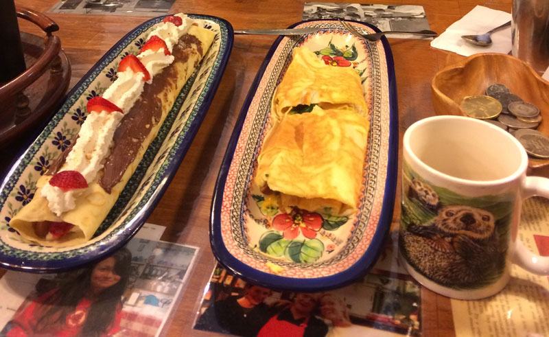
Because of Skagway’s large tourism industry, there is an impressive number of places to eat and drink for such a small town. Plenty of cafes line Broadway with breakfast and lunch options; Sweet Tooth Cafe was a favorite. You can also eat at the famous Red Onion Saloon at the foot of Broadway, but we just stopped in for a beer. One of our most memorable meals in all of Alaska was at Olivia’s, where we ate delicious bacon-wrapped Caribou medallions. After hours, the town empties out and we found ourselves the only people within sight after 9:00pm. We finished both evenings with beers at the open-late Bonanza Bar & Grill, where we were introduced to Skagway Brewing Company’s Spruce Tip Blonde, one of my favorite Alaskan discoveries. It’s a delicious nod to history, as the fresh buds of spruce trees were known to prevent scurvy (turns out they’re high in vitamin C). Natives shared this information with the recent American arrivals and taught them how to brew a spruce tip tea. The prospectors mainly heard the word “brew” and the rest is history. It’s a unique blonde, a bit citrusy and slightly like an IPA but without the bitter aftertaste.
Sergeant Preston’s Lodge was our hotel for two nights. The rooms are large and they provide free rides to and from the ferry terminal (when was the last time you rode in a Ford Aerostar?) as well as a place to stash your bags between check out and your ship departure time. The location is central, so the whole town is walkable from there.

White Pass and Yukon Railroad clings to the side of steep mountains.
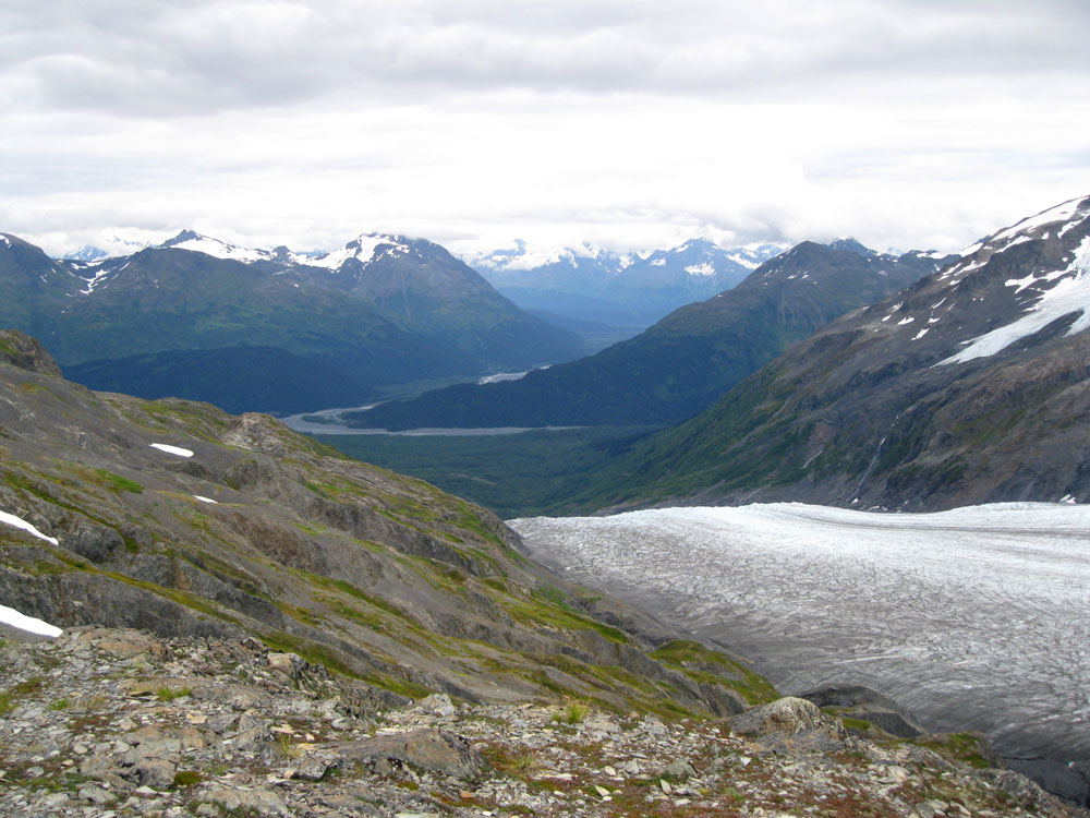
Skagway’s most popular tourist attraction is the White Pass and Yukon Railroad, an International Historic Civil Engineering Landmark. It was built over difficult terrain in just over two years to ease passage of prospectors and equipment over the White Pass to Dawson City and the gold fields 500 miles north. Unfortunately, by the time the railroad was in operation in 1900, the gold rush was already mostly over. The route did become an important freight transportation link between the Yukon Territory and the port at Skagway, but it eventually went out of business in 1982. Since 1988 it has operated purely as a scenic railway, carrying passengers from Skagway to as far as Carcross, Yukon. Nearly 400,000 passengers take a ride each May to September season. We selected the White Pass Summit excursion that goes just across the border into Canada. It is a 3.5 hour, 40 mile round-trip that ascends 2,865 feet and passes through two tunnels and crosses several bridge trestles and cascading waterfalls. A narrator on board explains the history and calls out sights as they pass by. Even on our somewhat overcast day there were amazing views down into the valley and up into the towering mountains and glaciers. Toward the summit you can look into a ravine and see the Trail of 98 still visibly worn into the rocks by prospectors’ boots. An obelisk marks the Canadian border at the summit and then the engines switch to the other end of the train to carry the passenger cars back to sea level. There’s also a steam train excursion for an even more retro experience.

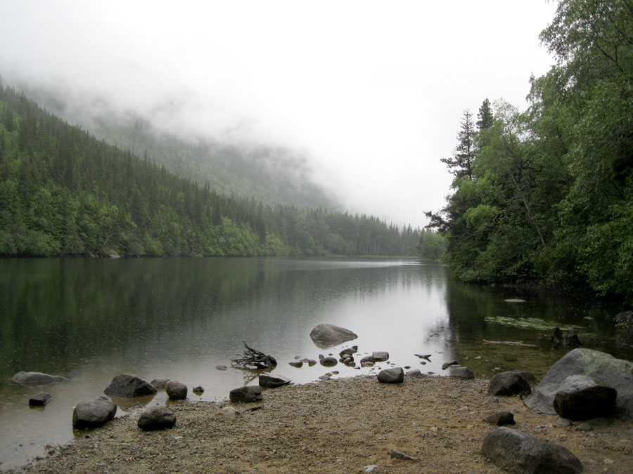
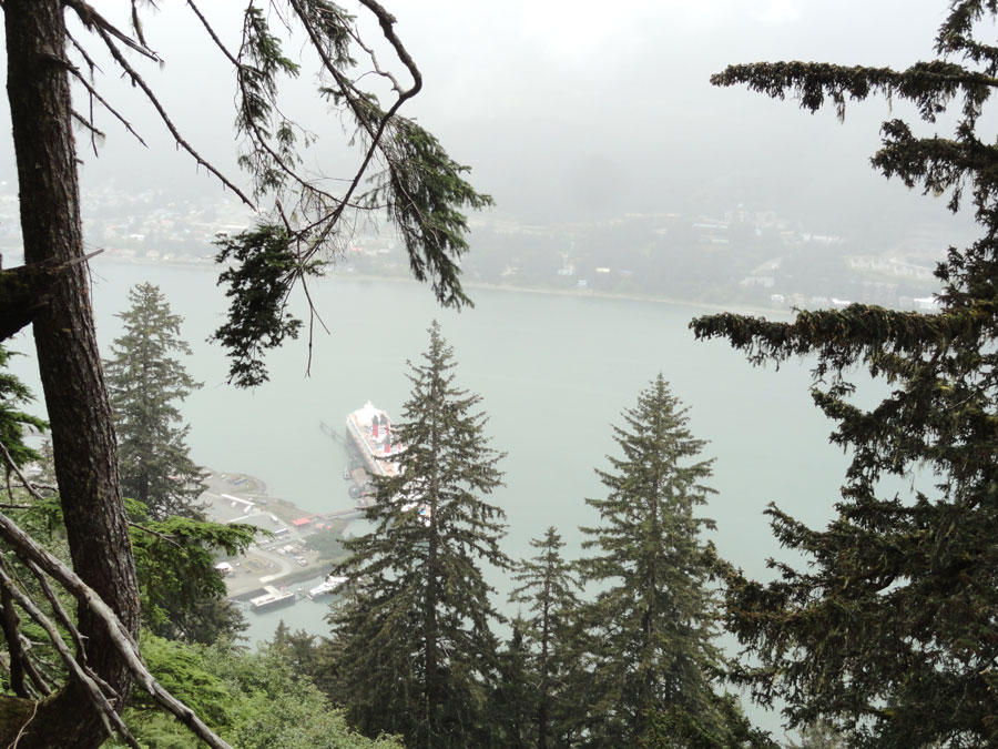
Lower Dewey Lake on a misty afternoon.
The Skagway area offers more hiking than we realized ahead of time. Access is easy, with several trailheads right at the edge of town. We hiked up to Lower Dewey Lake and around the circumference for a total distance of 4 miles. It’s a nice, scenic trail through thick woods, and the elevation gain is only around 500 feet, so it’s fairly easy. Taking the same trail farther eventually leads to Upper Dewey Lake and Devil’s Punchbowl, another 3,800 foot climb. We also hiked a couple miles to Yakutania Point and Smugglers Cove, an easy walk with little elevation gain but some nice views from water level. Those looking for a tough multi-day backpacking adventure can take the infamous 33-mile Chilkoot Trail from the former townsite of Dyea over Chilkoot pass to Lake Bennet, British Columbia. Keep in mind that it has been referred to as the “meanest 33 miles in history” though.
We took in plenty of entertainment while in Skagway, heading to the National Park visitor center’s auditorium multiple times for ranger presentations and movies. In addition to the introductory film, “Gold Fever: Race to the Klondike,” we watched “The Meaning of Wild,” a documentary created in honor of the 50th anniversary of the Wilderness Act. Ranger-led walking tours also leave from this building. Each ranger chooses his or her own focus topic and leads guests on a walk around town. Our ranger’s topic was gardens, as we learned that Skagway was and is known as Alaska’s Garden City because of its favorable growing conditions for vegetables and flowering plants. Residents in the early 20th century advertised beautiful gardens to attract visitors (after the gold rush economy had collapsed) and the tradition remains today, with gardens visible in many yards and public areas around town. There was also a great program about the music of the gold rush era, where we learned about the role music played in prospectors lives and what songs were popular. The ranger performed them on recorder and accordion. On our last night in town we got an extra special treat when local celebrity singer/songwriter Steve Hites did an hour-long show that he usually only performs on board the cruise ships. Since all the ships had left town already, we were left to enjoy it with an audience primarily of park rangers and local residents. After that it was time to board a ship of our own, the M/V Columbia for the long trip south to Bellingham, Washington.
While most visitors experience the Inside Passage region by booking a cruise, we went the do-it-yourself route and Nick invented our own itinerary using the Alaska Marine Highway system. I can’t recommend this travel method highly enough. We were able to spend more quality time exploring the towns of the inside passage than if we were being herded off and on a ship in time for the dinner buffet. It was also a bonus to experience places like Juneau and Skagway during the hours when there were no ships in town, it felt much more genuine. When locals would ask “What ship are you on?” and we answered that we had come in on the ferry, they were impressed; instant Alaskan street cred. The Marine Highway takes more effort to figure out a workable itinerary, but the benefits are well worth the time. In 2005 the Marine Highway routes were designated an “All American Road.”

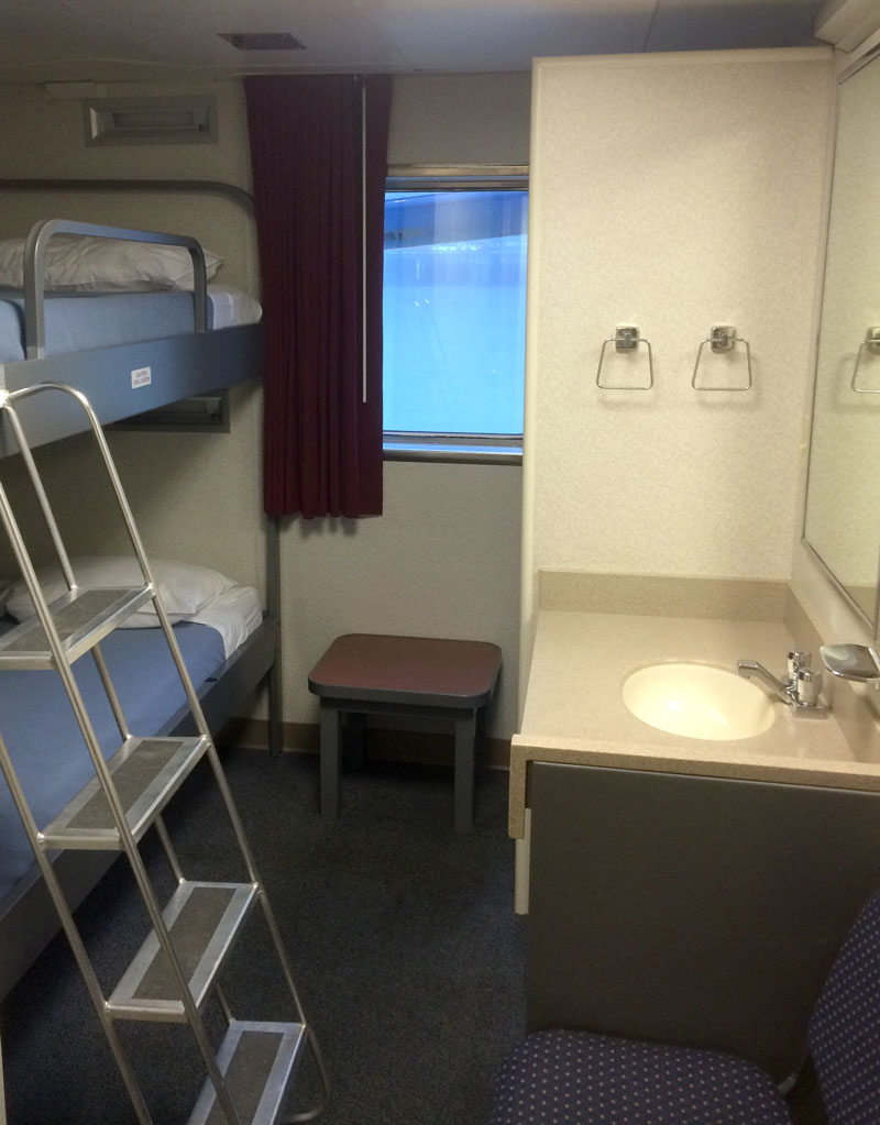
Our cabin on board the Columbia.
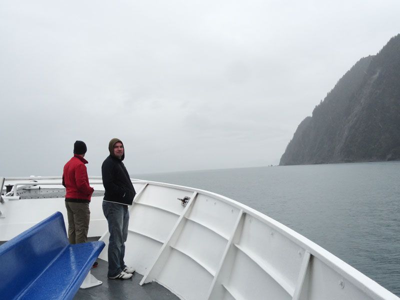
The fleet is made up of 11 ships ranging in capacity from 150 to 500. We took the smallish LeConte from Glacier bay to Juneau, the bigger Malaspina from Juneau to Skagway and the flagship Columbia for the 4-night journey from Skagway to Bellingham, Washington. For our first two ferry legs (5 or 6 hours each) we checked our luggage and passed the time in the observation lounge or cafeteria. For our long journey on the Columbia we rented a state room that provided us a decent set of bunk beds and a private bathroom that included a surprisingly large shower. More adventurous folks can opt to pitch a tent and sleep on designated areas on the back deck. Interesting, but not our style. We passed most of the time relaxing in observation lounges, drinking in the fantastically 70’s cocktail bar, catching a documentary in the movie lounge or just enjoying the sunshine and cool breezes on the outer decks.
There are two dining options on board, a snack bar for light bites or daily specials and the dining room that offers restaurant-style meals with a server. The cocktail lounge doesn’t have an extensive booze selection, but anyone should be able to find something to imbibe, and with pitchers of Alaskan Amber going for $18 we had no complaints. The bar decor is straight out of 1974, it is actually so outdated that it’s cool again. Flocked wallpaper and gold mirrored ceilings? I’ll drink to that. One interesting fact is that since the employees on the ship are state employees, they are not allowed to accept tips. Also there is no state tax, so that $18 pitcher of beer costs you exactly $18, no odd change required. Do keep in mind that you are on what amounts to Alaskan public transportation, so while the service is generally good, these are not luxury liners. Adjust your standards accordingly.

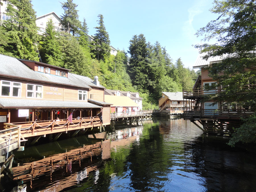
Creek Street in Ketchikan.
Between the Monday night departure from Skagway and the Friday morning arrival in Bellingham, the Columbia made scheduled stops in Haines, Juneau, Sitka, Petersburg, Wrangell and Ketchikan. Only Sitka and Ketchikan were long enough for us to disembark and poke around town a bit. At Sitka, bus companies meet the arriving ferries at the dock and offer rides downtown for $10. Our entertaining guide was a local of Tlingit descent who gave us lots of information about the town and what it was like growing up there. He dropped riders at either the center of town or a mile farther at the Sitka National Historical Park. We chose the latter to stroll the Totem Walk to see the huge collection of totem poles. From there we went back downtown on foot to see the Russian architecture of St. Michaels Cathedral and the view from Castle Hill, site of Tlingit and Russian forts and where Alaska was formally handed off to the United States in 1867. Unfortunately our Sitka time was very brief and we were quite rushed to see what we did, but the town has a lot to offer and would definitely be worth a longer visit. In fact, it was the territorial capital before Juneau under both Russian and American rule. The following day in Ketchikan, Alaska’s fourth-largest city, our stopover was a bit longer allowing us to explore a little more. We caught a cab downtown and checked out the Creek Street district, which was formerly the town’s red light district but now is full of some nice souvenir and art shops. Just up the hill, we witnessed salmon swimming upstream to spawn in Ketchikan Creek and then a short walk through town brought us to the central plaza along the waterfront with its sculpture commemorating the towns differing eras of settlers. Another place that would be worthy of more time.
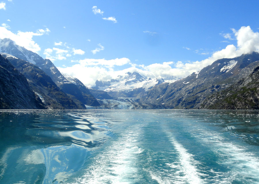
Perhaps the most awe-inspiring thing about floating through the inside passage is the fact that you go hours at a time without seeing any sign of human development. You look at the shore and you see only trees and mountains, no roads, no houses, no cell phone towers, just nature. It’s great to be reminded that there are still places so untouched. For the most part, you are cut off from civilization unless you’re near enough a town to receive a cellular signal. While traveling through Canadian waters, we spent a day and a half with no connection to the outside world at all. That evening the Columbia sailed alongside a pod of killer whales, checking off yet another unforgettable wildlife experience. No place in the Lower 48 will ever feel wild again. We must return.
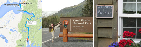
Part 1: Seward and Kenai Fjords
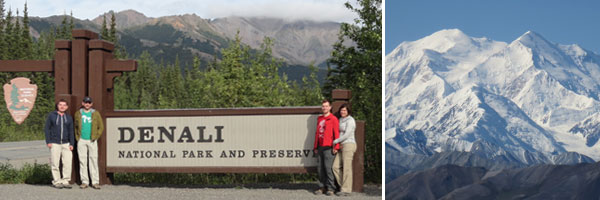
Part 2: Denali National Park
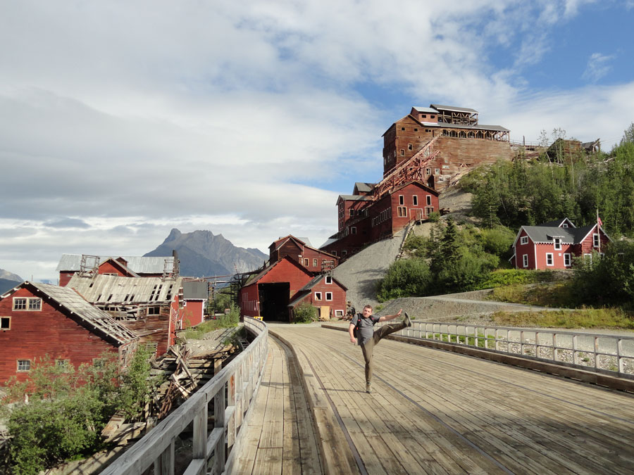
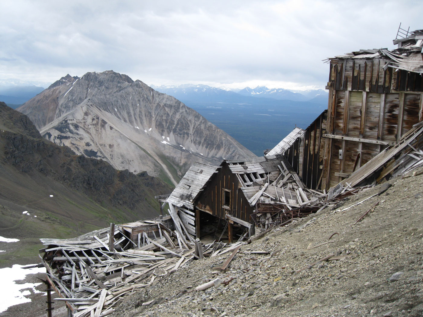
Part 3: Wrangell-St. Elias National Park
Part 4: Glacier Bay and Juneau

Parting shot.


You must be logged in to post a comment.